Xander Schulz · 29 September 2026
Adapting to the Downpour: Ahornfeld's Response to Flooding in Lower Meadows
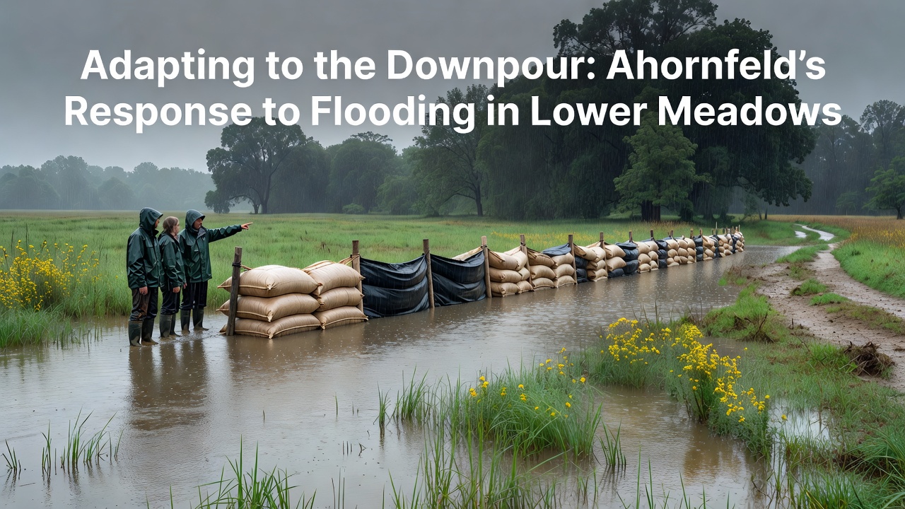
Lower Meadows sits along the edges of Ahornfeld where seasonal rains have long tested the land yet recent patterns show increased frequency and intensity of downpours that overwhelm natural drainage and push water into residential zones along with agricultural plots. Local authorities began documenting these shifts through monitoring stations installed along the meadow boundaries and by 2025 the records indicated a rise in peak water levels compared to earlier decades while community groups coordinated with engineering teams to map vulnerable spots before each wet season arrives.
Historical Patterns and Recent Data
Records kept by regional environmental offices reveal that flooding events in Lower Meadows occurred sporadically through the 1990s and early 2000s but accelerated after 2015 when multi-day rainfall totals exceeded historical averages in several years and studies compiled by the European Environment Agency confirm similar trends across comparable lowland areas in central Europe. Those who track precipitation note that September 2026 brought three separate storms that deposited over 120 millimeters within a 72-hour window and forced temporary evacuations from two farmsteads while emergency crews deployed sandbags and portable pumps to protect access roads.
Engineers examined soil saturation levels before each event and found that compacted ground from prior dry spells reduced absorption capacity which in turn directed more runoff into the meadows and prompted the installation of retention basins at three key inflow points during the spring of 2026. Data collected from these basins shows they held back approximately 40 percent of the incoming volume during the September storms and allowed slower release into downstream channels that connect with the main river system.
Infrastructure Adjustments and Community Measures
Residents formed neighborhood committees that worked alongside municipal planners to identify properties most at risk and several households raised ground-floor entrances or installed backflow valves on drainage lines while larger scale projects included widening of existing ditches and reinforcement of embankments using locally sourced materials. Observers note that these combined efforts reduced property damage reports compared to the 2024 season when similar rainfall produced higher losses and insurance claims.
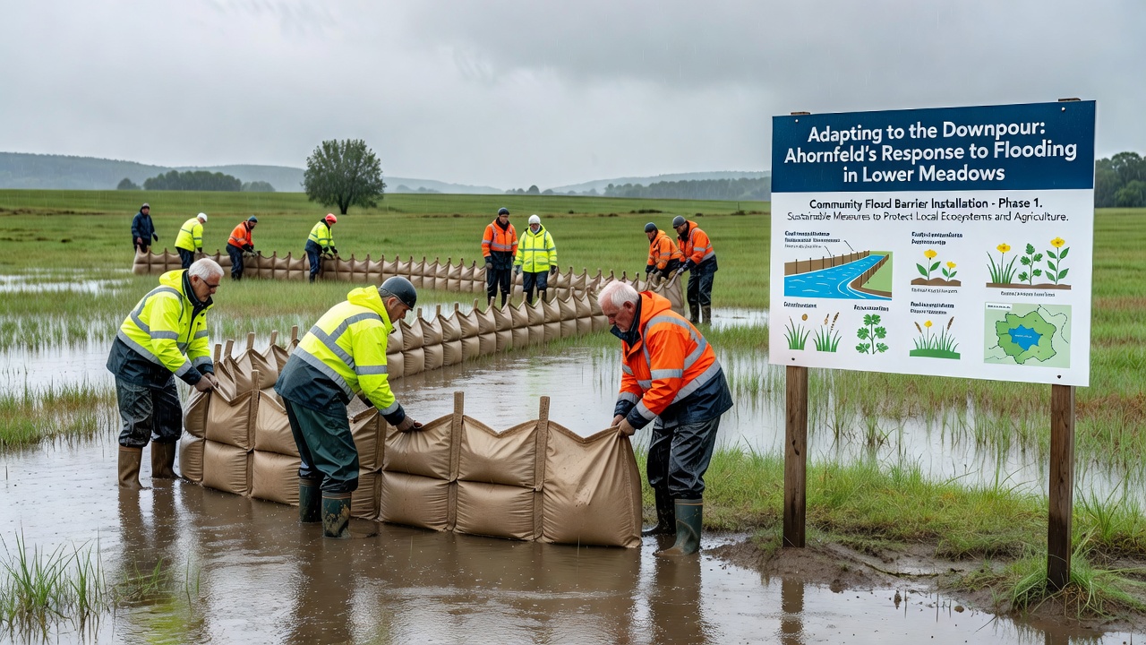
One project that stands out involved the construction of a series of vegetated swales along the northern perimeter where native grasses and shrubs now slow water movement and trap sediment before it reaches homes. Research from the University of British Columbia's flood management program indicates that such natural infrastructure features perform reliably when maintained regularly and local teams schedule annual inspections to clear debris that accumulates after each storm cycle. In addition authorities introduced early warning systems that send alerts via mobile networks and these messages reached over 85 percent of registered households during the September 2026 events according to post-incident reviews.
Long-Term Planning and Ongoing Monitoring
Planners continue to update flood risk maps using lidar surveys and hydrological models that incorporate the latest rainfall projections and these updates guide decisions about where to place additional culverts or elevate critical utilities. Figures released by the Australian Bureau of Meteorology on analogous regional flooding show that integrated monitoring networks improve response times and Ahornfeld officials adopted similar sensor arrays that transmit real-time water level data to a central dashboard accessible to emergency services.
Schools in the area incorporated basic flood awareness into science curricula so students learn how to read water gauges and understand evacuation routes and this educational component supports broader community preparedness without relying solely on official channels. Maintenance crews also clear vegetation from channels on a rotating schedule that prevents blockages during peak flow periods and records kept since 2023 demonstrate fewer overflow incidents at previously problematic locations.
Conclusion
Adaptation in Lower Meadows combines engineered structures with community involvement and continuous data collection to address recurring flood challenges and the measures implemented through 2026 reflect responses shaped by observed patterns rather than isolated incidents. Ongoing evaluation of basin performance and alert system reach will inform further refinements as rainfall trends evolve and regional partnerships share lessons with neighboring districts facing comparable conditions.