Zoe Butler · 13 October 2026
Youth Mapping Initiatives in Ahornfeld Reveal Links Between Native Tree Education and Emerging Wildlife Corridor Designs
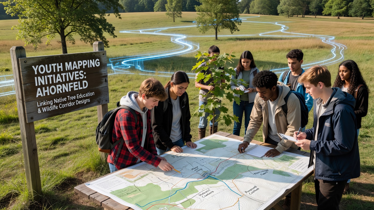
Local education programs in Ahornfeld have expanded since early 2025 to include hands-on mapping exercises that connect classroom lessons on native tree species with practical wildlife corridor planning, and these efforts have produced datasets used by regional planners to identify priority connection zones between existing forest patches and meadow edges.
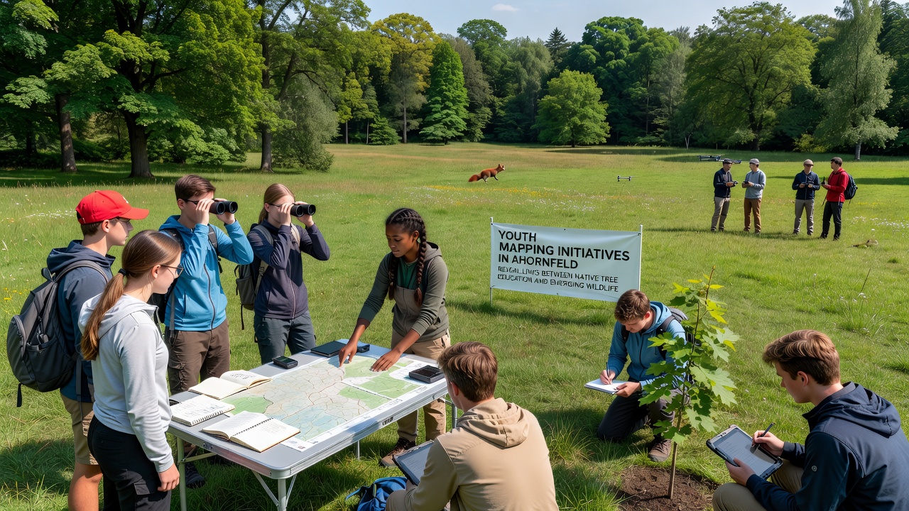
Participants aged 12 to 18 collect GPS coordinates, measure tree diameters, record canopy cover percentages, and note understory plant diversity while walking transects that cross proposed corridor alignments, and the compiled information feeds directly into design models that prioritize routes supporting both plant regeneration and animal movement.
Program Structure and Data Collection Methods
Schools coordinate with forestry technicians and ecologists to train students on standardized protocols, while October 2026 marked the release of the third annual dataset that now covers 14 kilometers of mapped transects across the lower meadows and adjacent woodland fringes. Students use tablets loaded with open-source GIS applications to log observations in real time, and each entry includes photographs tagged with species identification verified later by botanists.
Training sessions occur weekly during the school year and intensify during spring and autumn field seasons, and participants learn to distinguish indicator species such as Acer pseudoplatanus and Quercus robur from invasive competitors that can fragment habitat continuity. The resulting maps highlight gaps where tree cover drops below 30 percent, and these gaps become focal points for corridor widening proposals submitted to local land management boards.
Integration of Tree Education with Corridor Design
Native tree education modules precede each mapping outing so students understand root system interactions, pollination requirements, and shade tolerance before they evaluate how plant choices affect corridor functionality for birds, small mammals, and insects. Data shows corridors seeded with at least four native canopy species maintain higher connectivity scores than those dominated by single-species plantings, and student-collected observations have confirmed this pattern in three separate Ahornfeld sub-regions.
One study released by the European Environment Agency in 2025 documented similar outcomes in pilot sites across central Europe, and Ahornfeld's student datasets have been cross-referenced against those findings to refine local planting guidelines. Corridor designs now incorporate buffer strips at least 25 meters wide on each side of core pathways, and student measurements of existing tree density help determine exact buffer widths needed to achieve target canopy closure within five years.
Community and Institutional Partnerships
Forestry cooperatives supply equipment and review student submissions for accuracy, while municipal planning offices incorporate the final maps into official open-space strategies scheduled for public consultation in early 2027. A separate partnership with the Canadian Wildlife Federation has provided comparative datasets from Ontario corridor projects, allowing Ahornfeld teams to adapt measurement techniques proven effective in temperate deciduous forests with similar species composition.
Monthly review meetings bring students together with ecologists to discuss anomalies such as unexpected seedling clusters or areas showing higher than average herbivore browsing, and these discussions frequently lead to adjustments in corridor alignment before final engineering drawings are prepared. The process keeps design decisions grounded in repeated field observations rather than modeled assumptions alone.
Conclusion
Youth mapping initiatives in Ahornfeld continue to generate location-specific data that directly informs wildlife corridor layouts while reinforcing classroom knowledge of native tree ecology, and ongoing collection rounds scheduled through 2027 are expected to expand coverage into additional meadow-forest transition zones. The approach demonstrates measurable connections between structured educational activities and applied conservation planning outputs used by regional authorities.